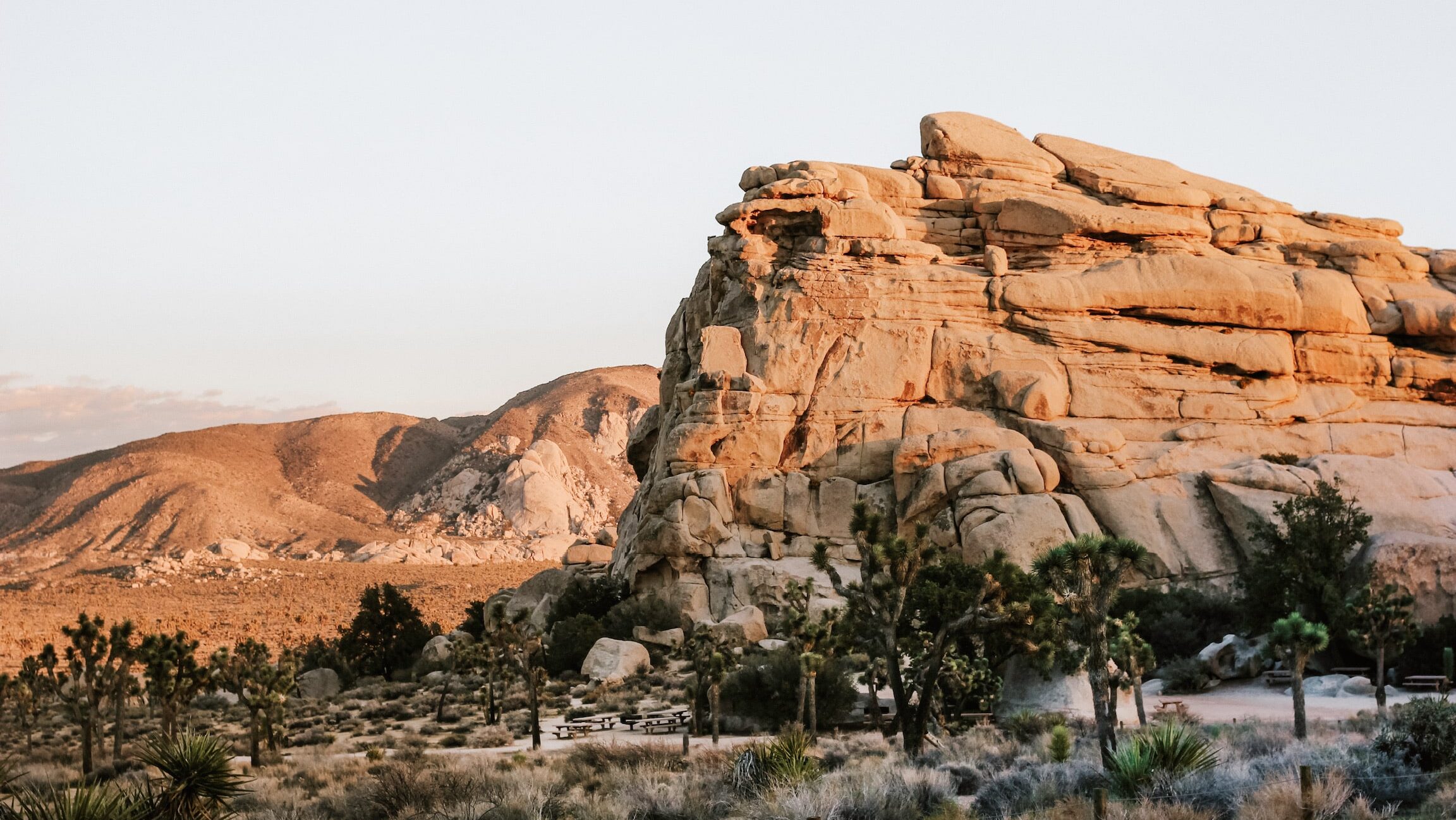
The current government shutdown and temporary park closures have prompted us to remember all of the surrounding landscapes outside of Joshua Tree National Park that deserve just as much love and attention as the national park. We’ve gotten many questions about what trails to explore and what to see in areas outside of the park itself, and there’s no shortage of options! Whether you’re visiting the park or these suggested trails, always remember to pack out what you pack in, and stay on designated trails to protect this fragile ecosystem.
Pioneertown Mountains Preserve: Chaparrosa Peak Spur Trail

Head up to Pioneertown and you’ll find gorgeous boulder formations and Joshua Trees reminiscent of the landscapes in Joshua Tree National Park. Pioneertown Mountain Preserve‘s 20,000 acres is the largest non-profit wilderness in California. Last winter while looking for snow we headed up to Chaparrosa Peak Spur Trail, and snapped the above photo amidst the dreamy landscape we found there. On the way back, stop at Pappy & Harriet’s for dinner and live music.
Length
3.3 miles to the peak, where you’ll find views of Pioneertown, Flat Top Mesa, Morongo Basin and San Jacinto. This hike is moderate to difficult with elevation gains of over 1000ft.
How to Access
51010 Pipes Canyon Road, Pioneertown, CA 92268
The preserve is open from sunrise until sunset. Drive to Indian Loop and park. The trails begin near the Ranger’s station.
Big Morongo Canyon Preserve
Head down to Morongo Valley and visit this 31,000 acre preserve located on the border of the Mojave and Sonoran Deserts. There you’ll find a desert oasis fed from natural springs with many trails and handicap accessible boardwalks. While you’re down in Morongo Valley, make sure to stop by Cactus Mart.
Length
There are many short trails in the preserve and we recommend taking your time to wander and explore. The Marsh Trail brings you on a 6 foot wide boardwalk through the diverse ecosystem with great birdwatching.
How to Access
11055 East Drive, Morongo Valley, CA 92256
The preserve is open from 7:30am until sunset. Drive to Morongo Valley and follow the signs that point to the Preserve.
Indian Canyons in Palm Springs

Head down to Palm Springs for the day for warmer weather and the largest California Fan Palm Oasis in the world at Indian Canyons. Trails guide you under canopies of palms alongs streams, and serve as a great area for picnicking. It’s located in the Agua Caliente Indian Reservation, and admission is $9.
Length
We recommend the Palm Canyon Trail. It’s a total of 15 miles long, but the first mile is the main section and is an easy hike in the shade of the native Fan Palms.
How to Access
38520 S Palm Canyon Dr, Palm Springs, CA 92264
Indian Canyons is open from 8am until 5pm with the last car let in at 4pm. For the Palm Canyon Trail, park near the souvenir shop looking over the oasis. There is a fairly steep hill that you need to walk down, but once you’re there it’s an easy walk around the oasis.
Amboy Crater
Amboy Crater is an extinct volcano that last erupted around 10,000 years ago and located off historic Route 66.
Length
The trail is about 3 miles there and back with an elevation gain of 275 feet. The trail takes about 1.5-2 hours to hike. There is no shade to be found here so always bring water, proper hiking shoes, a hat, and sunscreen.
How to Access
Amboy Crater
The trail is located right off the parking lot and is clearly labeled. From Joshua Tree, head east towards Twentynine Palms. Turn left on Adobe Road and after 2 miles, turn right onto Amboy Road. Drive through Wonder Valley on Amboy Road for 47 miles and you’ll see the Crater as you enter Amboy. On the way, you’ll drive by the Salt Mines and when you head back, stop at the Palms for a drink or a meal.
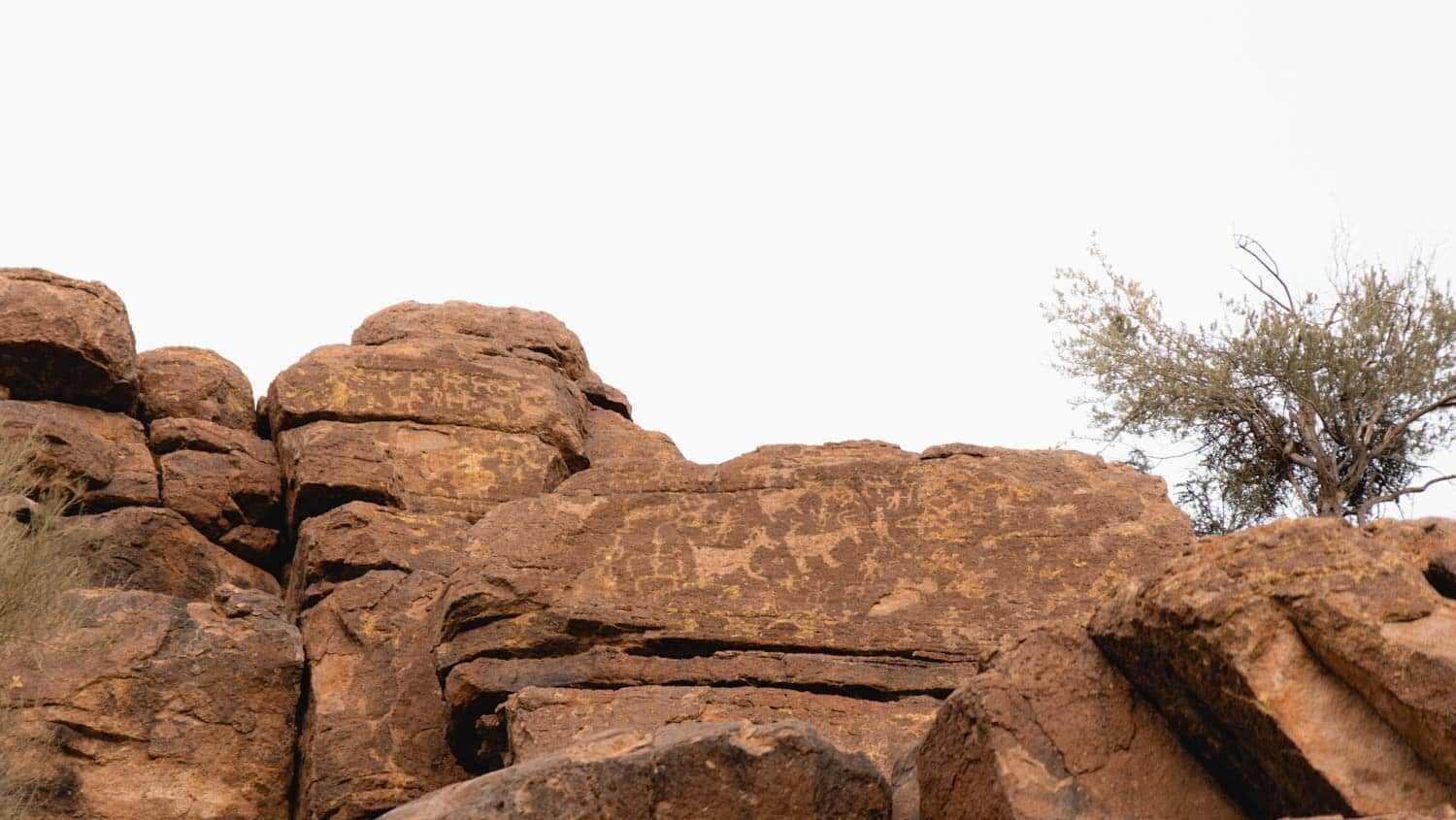
Rhythm of Life
Located just off of Aberdeen and Old Woman Springs Road on the Black Mesa in Yucca Valley. This earthwork was installed in 2008 by Andrew Rogers and consists of 460 tons of stone. It’s part of his larger series of geoglyphs inspired by the Nazca Lines in Peru which consists of 51 sculptures in 16 countries on all 7 continents.
Rogers explains, “The ultimate goal was to form a connected set of drawings on the earth visible from space, to have the first use of satellites to capture a connected set of contemporary sculptures around the earth, and to utilize Earth Observation sensors to acquire high-resolution satellite imagery from altitudes between 500-800kms (310-500 miles) above the Earth’s surface.”
Length
It’s a short walk up a hill from the road.
How to Access
Old Woman Springs Rd and Aberdeen
From Yucca Valley, take 247 Old Woman Springs Road about 5 miles until you get to the intersection of Aberdeen. Park and look west to see Rhythm of Life. You can then walk up and see the geoglyph from there.
Palm Springs Aerial Tramway

The Palm Springs Aerial Tramway is the largest rotating tramway in the world and was opened in 1963. It begins on the valley floor and takes you to the peak of San Jacinto where you can hike, cross country ski, or enjoy a cocktail at the restaurant with incredible views. The weather is usually about 30-40 degrees cooler at the peak which can be a nice break from the hot desert summers, or a way to experience snow in the winter! It’s open most days from 10am to 8pm and tickets are $25.95 for adults.
Length
The tram ride takes about 10 minutes each way and runs every 30 minutes. During the ride, there is an altitude change of about 6,000 feet. After you reach the top, we recommend the Desert View Trail which is a 1.5 mile loop. It’s a moderate trail with excellent views of the Coachella Valley.
How to Access
1 Tram Way, Palm Springs, CA 92262
From Joshua Tree, head west on Highway 62 and turn left onto N Indian Canyon Dr. Once you get into Palm Springs, turn right on W San Rafael Dr and continue past the visitor center to Tram Way. Park in the parking lot and walk to the tram way.